| Restocking Fee | No |
|---|---|
| Return shipping will be paid by | Seller |
| All returns accepted | Returns Accepted |
| Item must be returned within | 30 Days |
| Refund will be given as | Money Back |
| Type | City Map |
| Country | United States |
| Topic | Maps |
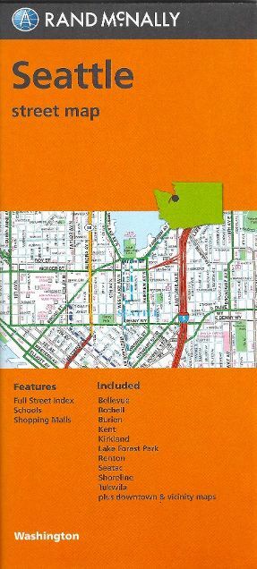
Check the listing for details. Seattle, Washington, Street Map, by Rand McNally. Condition: New. Listed at 5.95 USD. Seattle, Washington, Street Map, by Rand McNally, 2019 edition Rand McNally's folded map for Seattle is a must-have for anyone traveling in and around this part of Washington, offering unbeatable accuracy and reliability at a great price. The cartography shows all Interstate, U.S., state, and county highways, along with clearly indicated parks, points of interest, airports, county boundaries, and streets. The easy-to-use legend and detailed index make for quick and easy location of destinations. This updated Full-color maps Clearly labeled Interstate, U.S., state, and county highways Indications of parks, points of interest, airports, county boundaries, schools, shopping malls, downtown & vicinity maps Enlargment of downtown Easy-to-use legend Detailed index & full street index Convenient folded size Coverage Area Communities Includes: Bellevue, Bothell, Burien, Kent, Kirkland, Lake Forest Park, Renton, SeaTac, Shoreline and Tukwila Map measures 40" x 28" when opened and if fully indexed.Publication date: 2019, ISBN 9780528007873
You may also like